
Water and watering in Caruthers
Caruthers Community Services District runs the community water system, and the State Water Board lists its source as groundwater.
We did not find assigned watering days published for Caruthers. Ask Caruthers Community Services District for the current rules.
See the full Caruthers watering schedule.
What drip irrigation means in Caruthers
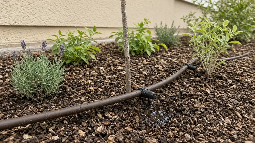
Drip works at low flow, so small problems show up as dry plants rather than puddles. A clogged filter, a cut tube, a loose fitting or a missing pressure regulator are the usual causes.
We walk the zone while it runs, find where the flow stops, and repair or rebuild the line. For new beds, we lay out a zone with the right emitter for each plant.
Drip puts water at the roots in Caruthers beds and trees, with little lost to walls and walkways, and it runs on a short, steady schedule.
Caruthers at a glance
Caruthers had 2,613 residents at the 2020 census and sits at about 246 feet above sea level. A census-designated place (not a city).
The 2020 census counted 719 housing units in Caruthers, and about 60.7% of occupied homes are owner-occupied. That works out to about 355 housing units per square mile.
The first post office in Caruthers opened in 1891, and the town is named for local farmer W.A. Caruthers.
Nearby communities
Nearby communities we serve: Raisin City (5.7 mi), Easton (7.8 mi), Fowler (10.4 mi). Distances are straight-line from the center of Caruthers.
Helpful guides
Written by ACRE Landscape Co., Fresno & Clovis. Updated October 26, 2026.